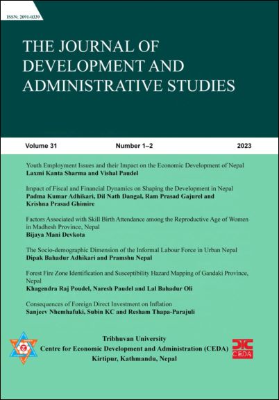
Forest Fire Zone Identification and Susceptibility Hazard Mapping of Gandaki Province, Nepal
DOI:
https://doi.org/10.3126/jodas.v31i1-2.72234Keywords:
Forest fire susceptibility, Hazard mapping, Risk factors, MaxEnt modeling, Gandaki provinceAbstract
Forest fires are the most frequent hazards in Gandaki Province, Nepal, and have deeply affected its unique physiography, vegetation, and human activities. This study focuses on identifying the main factors that cause forest fires and develops a susceptibility map using the MaxEnt model. Satellite image data and field observation across the province; topographical variables such as physiography, elevation, slope, and environmental variables such as temperature and precipitation, and anthropogenic variables such as land use were analyzed to deduce fire risk. The results indicate that the Myagdi, Gorkha, and Baglung have the largest share of fire-prone areas, representing 44% of the total area falling within the fire-risk zone. Myagdi is the most hazardous district, which covers 17.35% of this fire-susceptible area, followed by Gorkha with 16.56%, and Baglung with 10.59%. Their rugged topography, steep slopes, shrubland, and high density of forests are these districts are so prone to susceptibility. Contrasting this, Parbat and Manang present very low fire hazard conditions because of cool climates, less vegetation cover, and river and snow barriers. These account for only 1.56% and 2.39% of the total fire-prone area. Principles of effective forest fire management emphasize the targeting of high-risk districts with appropriate measures concerning sustainable land-use practices, community participation, and enhancing monitoring activities within the province.
Downloads
Downloads
Published
How to Cite
Issue
Section
License
The copyright of the accepted articles is reserved by the Centre for Economic Development and Administration (CEDA), Tribhuvan University (TU). No part of the article published in this journal should be reproduced except provided by the law currently in force without the written consent of the centre.


