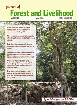
Carbon Measurement: An Overview of Forest Carbon Estimation Methods and the Role of Geographical Information System and Remote Sensing Techniques for REDD+ Implementation
DOI:
https://doi.org/10.3126/jfl.v13i1.15367Keywords:
Deforestation and forest degradation, Carbon stock, Emission, Remote sensingAbstract
Many scientists and policy makers consider payment for environmental services, particularly carbon payment for forest management, a cost-effective and practical solution to climate change and unsustainable development. In recent years an attractive policy has been discussed under the United Nation Framework Convention on Climate Change (UNFCCC): Reducing Emissions from Deforestation and Forest Degradation (REDD+), sustainable management of forest, and conservation and enhancement of carbon in developing countries. This could potentially reward forest-managing communities in developing countries. One of the challenging tasks for the successful implementation of this policy is setting up reliable baseline emissions scenarios based on the historical emissions as input for business as usual projections. Forest biomass measurements, the quantification of carbon stocks, their monitoring, and the observation of these stocks over time, are very important for the development of reference scenario and estimation of carbon stock. This paper reviews a numbers of methods available for estimating forest carbon stocks and growth rates of different forest carbon pools. It also explores the limitations and challenges of these methods for use in different geographical locations, and suggests ways of improving accuracy and precision that reduce uncertainty for the successful implementation of REDD+. Furthermore, the paper assesses the role of remote sensing (RS) and geographical information system (GIS) techniques in the establishment of a long-term carbon inventory.
Journal of Forest and Livelihood 13(1) May, 2015, Page:69-86
Downloads
Downloads
Published
How to Cite
Issue
Section
License
CC-BY-NC: This license allows reusers to distribute, remix, adapt, and build upon the material in any medium or format for noncommercial purposes only, and only so long as attribution is given to the creator.


